
Geographic Information Systems (GIS)
Resources
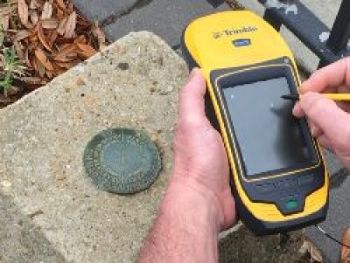
The purpose of the Thomas County G.I.S. Department is to support the activities of Thomas County and its citizens by collecting, maintaining and providing accurate, current and complete geospatial data.
Using GIS, the department is able to equip Thomas County personnel and citizens in making decisions that impact the future of Thomas County in an informed and logical manner. The primary duties of the GIS Department(s) include developing and maintaining data such as a 911 address database, official zoning, parcel boundaries, County Fire hydrants location and identification, EMS response zones, etc. And assisting county departments with projects, programs, and citizen’s questions.

CMAP
CMAP is an interactive web-map that will allow you to experience the visual power of GIS. Visit: CMAP